A mid-rise project near the University of Utah stalled for three weeks last fall. The geotechnical report flagged a potential shallow water table beneath the site, but the borehole spacing was too wide to map the lens. We mobilized a VES array across the property. In one afternoon, the resistivity profiles picked up a perched aquifer at 12 feet and a dry paleochannel cutting diagonally under the southeast corner. That data changed the dewatering plan and saved the excavation schedule. For subsurface exploration in Salt Lake City, where ancient Lake Bonneville sediments create abrupt lateral changes, electrical resistivity fills the gap between discrete borings. When we need continuous profiles without disturbing sensitive urban sites, the method delivers. We often pair it with seismic refraction to cross-validate bedrock depth, especially where gravel lenses scatter the seismic signal.
Resistivity is one of the few geophysical methods that directly responds to both lithology and pore water, which makes it indispensable in Salt Lake City's mixed lakebed stratigraphy.
Service characteristics in Salt Lake City
Risks and considerations in Salt Lake City
IBC Chapter 18 and the local Salt Lake City amendments require adequate subsurface exploration for all Category II and III structures. The Wasatch Front is one of the most seismically active urban corridors in the interior West. Liquefaction potential in saturated, fine-grained Lake Bonneville sediments is a known hazard throughout the valley. Resistivity surveys identify those saturated zones before a single footing is poured. Skipping this step risks designing foundations on material that will lose strength during a design-level earthquake. We have seen projects near the Jordan River where a 10-foot-thick saturated silt layer was missed by widely spaced borings. The VES profile caught it. The structural engineer upgraded the foundation system before construction, not after. In Salt Lake City, the cost of a resistivity survey is negligible compared to the liability of an undetected subsurface anomaly.
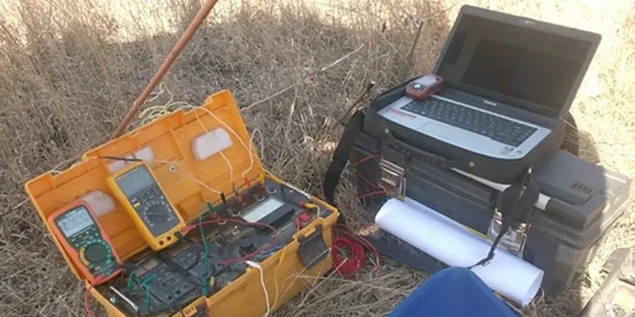
Our services
Our electrical resistivity services in Salt Lake City cover the full range of investigation depths and site conditions, from tight urban lots to open undeveloped parcels along the Wasatch Front.
1D Vertical Electrical Sounding (VES)
Point soundings at specified locations to map layer thickness and resistivity with depth. Ideal for foundation design, groundwater exploration, and borrow source evaluation.
2D Electrical Resistivity Tomography (ERT)
Multi-electrode profiles producing continuous cross-sections. Applied along pipeline alignments, slope faces, and fault trace investigations across the Wasatch fault zone.
Combined Geophysical Surveys
Integrated resistivity and seismic refraction for bedrock mapping, plus MASW for shear-wave velocity profiles required by IBC seismic site classification.
Common questions
How deep can a resistivity survey investigate in the Salt Lake Valley?
With a standard Schlumberger array and maximum electrode separation of 500 to 800 feet, we routinely reach investigation depths of 150 to 250 feet. For deeper targets, such as basin-fill structure near the Wasatch fault, we extend the spread further and can resolve resistivity contrasts down to 400 feet. The actual depth depends on site access, surface conditions, and the resistivity contrast of the target layers.
What does a VES survey cost for a typical residential or commercial lot?
For a standard lot in Salt Lake City with three to five VES sounding points, the fee ranges from US$660 to US$980. The final figure depends on the number of soundings, electrode spread length, site accessibility, and whether we integrate the results with existing boring data. Each quote is project-specific and includes data processing, inversion modeling, and a signed geophysical report.
Can electrical resistivity distinguish between Lake Bonneville clay and buried fill material?
Yes, and this is one of the most common questions we get on redevelopment sites downtown. Native Lake Bonneville clay typically shows low resistivity of 10 to 40 ohm-m when saturated. Historic fill, especially if it contains brick fragments, ash, or gravelly debris, reads higher, often above 80 ohm-m. The contrast is clear on a well-calibrated 2D profile. We ground-truth the interpretation with existing borehole logs whenever available.